Been absorbed with all things Google Maps Platform (https://mapsplatform.google.com/) AI and AR lately. As a creative, Geospatial Creator (https://developers.google.com/ar/geospatialcreator) is really interesting.
You can, as a global brand for example, do so much already with AR and AI predictive analytics. It’s feasible to leave smart AR stores in any spatial location. It can have a sphere of influence where your phone can trigger an augmented experience if you enter the spatial awareness of a geotagged location.
Concept Exploration
https://www.instagram.com/reel/C7-Wu15NTnJ/?igsh=MWRteW1sMzd1a2hyNQ==
Leaving things at a location isn’t new, and AR shopping and try on, and purchasing aren’t new. But, it AI vision can now understand so much through the camera, that it can deliver an even more nuanced, personalized AR experience. It can even know about you when you are near it, and not directly in the sphere of influence, adding to a brand’s predictive analytics like create a predictive heat map for location based demographics.
I only had a minute to write a blog post, but I wanted to capture the start of this, because it’s so interesting what you can do with Google Maps Platform now.
That was a tiny part of the picture. Webgl layers can be higher fidelity, you can customize map markers with your brand visual language, and customize your map style as well.
I was trying to see if it’s possible to create a cut paper map style. I trained a style transfer model in that style and created a city map of London and I liked it so much, I wanted to see if its possible for Google Maps Platform (https://mapsplatform.google.com/) for making part of an immersive brand experience.
Here’s a quick video I found skimming through the Google Maps AI features now on the platform if you are curious:
Google Maps is now AI (https://youtu.be/UvpIrxolWGs)
Styled visualizations created using AI exploring ideas using Google Maps Platform:
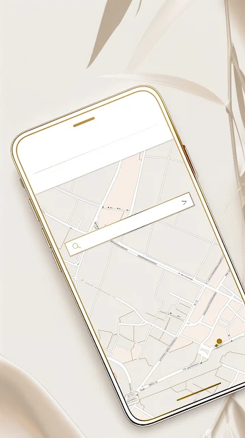
Custom map style with custom map markers, specified level of items, color palette, custom location images. Create a branded, editorialized view of a location to match immersive experience.
Create a street view ar experince. Immersive story. Go back in time. Historic locations. History walk. Geotagged ar.
Historic map style to match an immersive ar history walk story street view.
AR vision. Geotagged ar experience. Tryon, explore location augmented layers, get loction or item data.
Custom map style. Make it completely neutral as base and layer in branding as custom map markers, aerial view 3d high-fidelity imagery.
Architectural guides. Ar layers, geotagged.
Ar shop, geotagged. Uses phone camera and AI to explore virtual goods or virtual versions of goods in custom colors, patterns. Select and purchase on a phone in the ar app using speech in a conversational interaction.
A zoom into aerial 3d view is higher fidelity. Uses custom 3d or nurbs. Historic buildings could be shown in an immersive story layer.
These are just a few quick ideas I wanted to capture of what can potentially be done visually to tell a story in maps platform and ar for customized branded experiences.


